
Hiking the Appalachian Trail from Georgia to Maine or summiting all 48 of the four-thousand footers of the New Hampshire 48, had never been a goal of mine…they weren’t on any so-called “Bucket List”. The idea of pursuing and accomplishing each of these adventurous challenges was not something I dreamt about…that is until I stepped foot on the trail.
I had begun backpacking in 2007 and with a few weekend trips under my belt I felt comfortable enough to set out on my own…after all, you are just walking with all of your gear strapped to your back. My first solo backpacking experience began on the Appalachian Trail early in 2008. With work and family, I quickly became a section hiker taking every vacation and every long holiday weekend to hike my way north. I fell in love with the Appalachian Trail, her strenuous mountain climbs, her flowered meadows, her rocks, her roots and her mud. I desired the unfolding of nature that poured itself out with every turn. I learned to appreciate the physical challenges that my body would experience…step after step. I reveled in my own solitude as I whispered quietly to my heavenly Father praying for strength, guidance, and protection. For the next five years, I would make my way east to the AT and as a purist, I would begin where I had left off…not missing a step till I completed the last near 900 mile stretch to Mt Katahdin in 2012.

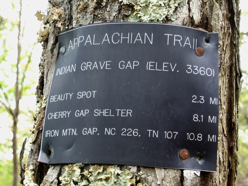
Tennessee/North Carolina border
Uncle Johnny’s Hostel to Carvers Gap – 30m
Beauty Rest…Unaka Mountain…Roan High Knob Shelter
That 900 mile stretch would eventually take me across the state of New Hampshire and into the rugged White Mountains. The Appalachian Trail passes over the summits of 17 of the 48 four-thousand footers: Moosilauke, South and North Kinsman, Lincoln, Lafayette, Garfield, South Twin, Jackson, Pierce, Washington, Madison, Wildcats D and A, Carter Dome, South and Middle Carter and Moriah.
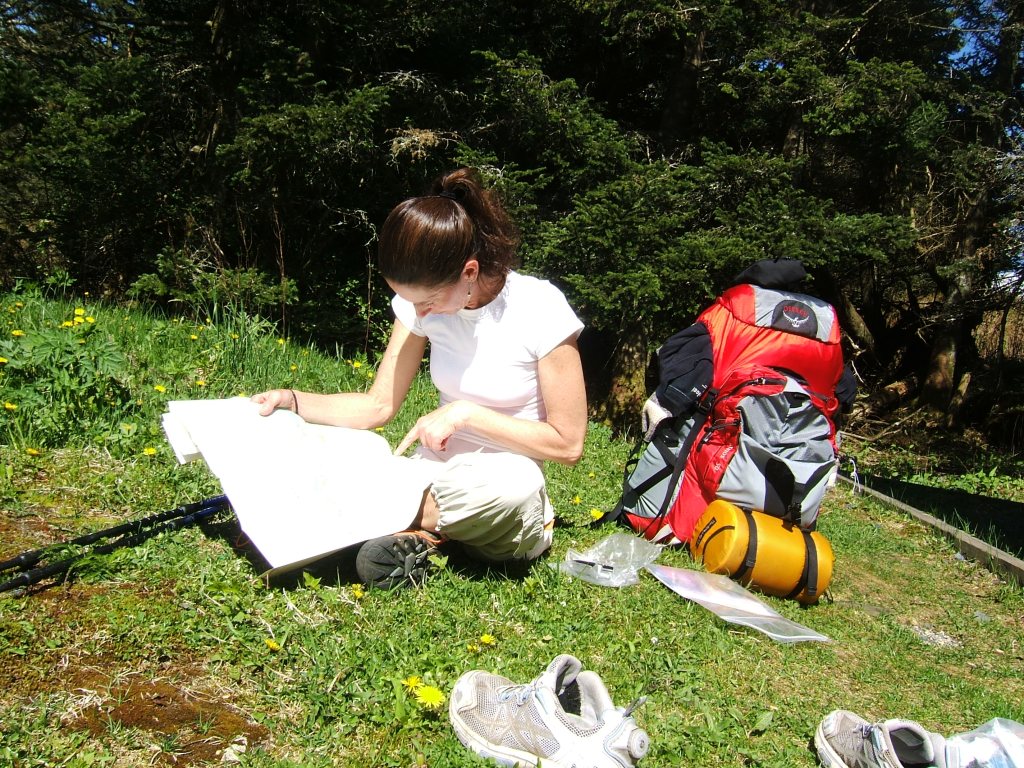
When I begin any backpacking trek…I carry in my pack a 3×5 spiral notebook so that I may record the days date and how many miles I hiked that day. I might add the camping location for the night, wildlife I encountered, trail magic I received, mountains I climbed…things like that. So I dug out the navy blue notebook of 2012 and focusing on the days prior to and just after hiking through the Whites I noticed very quickly how vague I was in my daily journaling. So vague I am reluctant to share the contents with you. Each entry will be written as I originally had recorded it and will include pictures I had taken of the day. I will then expound a little…I still have a good memory of some things.
7-25-12
16m
“Hiked over Mt Cube, Mt Mist. Picked up mail drop at Hiker Hostel in Glencliff, NH. Beautiful views on Mt Cube”
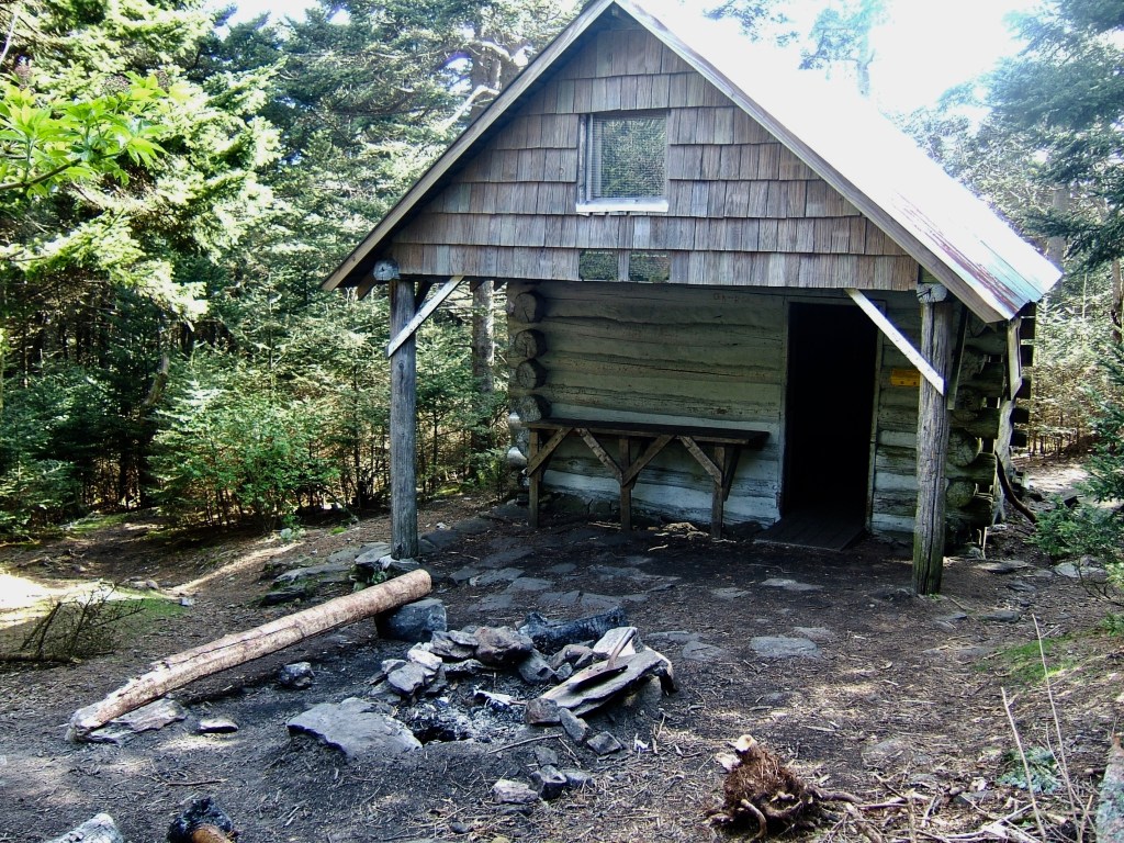
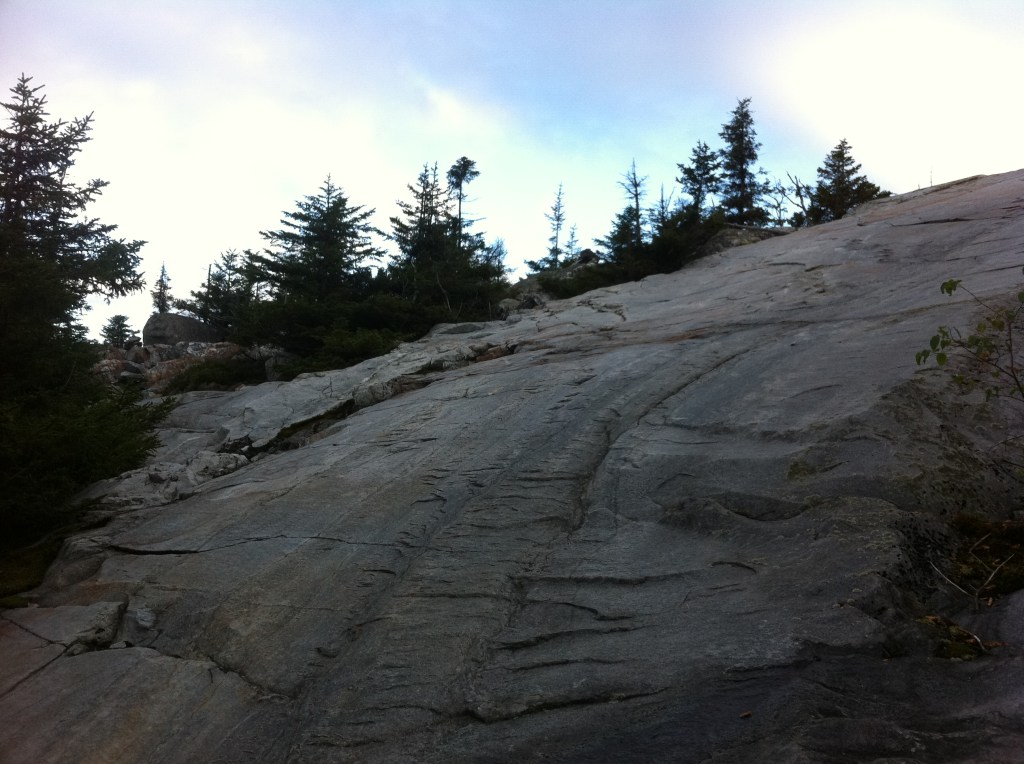
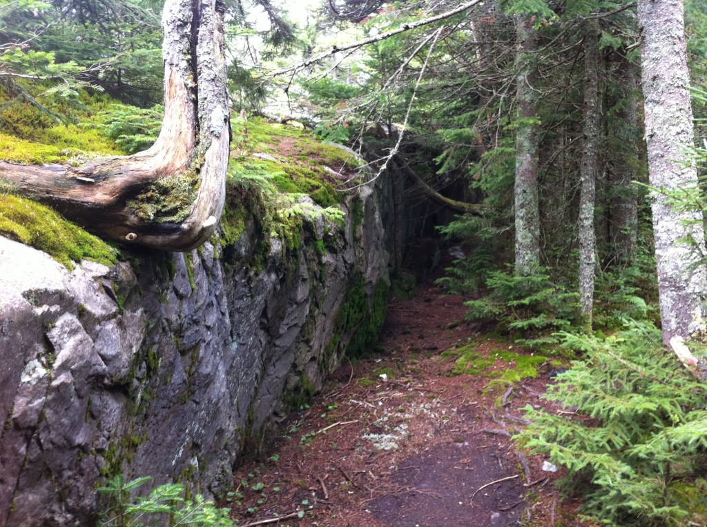
The large rock slabs to the summit of Mt Cube is just a taste of what lies ahead as I soon will enter the White Mountains. Following the numerous white blaze’s towards Route 25 (also known as the Oliverian Notch), I soon reach the road and walk down to the Hiker Hostel where I had shipped myself a re-supply box of winter clothing, toiletries and food to be picked up. I didn’t linger around and walked back to the trail and headed north to the first shelter…the Jeffers Brook Shelter.

7-26-12
15.9m
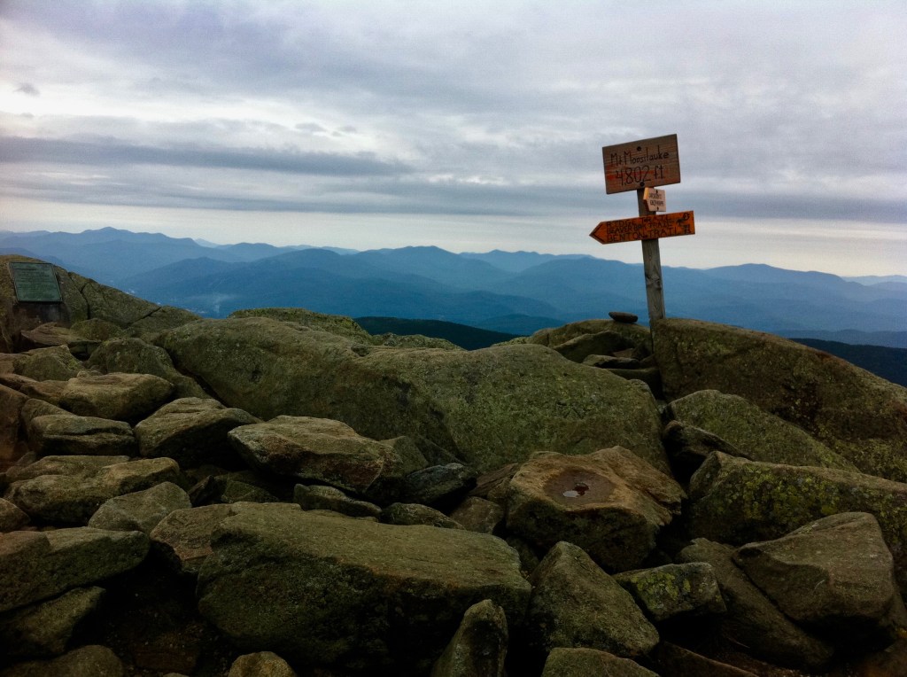
“Jeffers Brook Shelter to Eliza Brook Shelter – Climbed Mt Moosilauke”
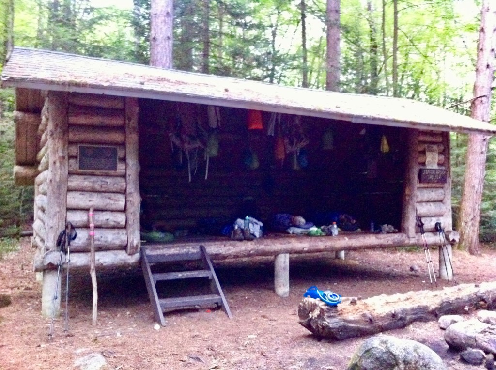
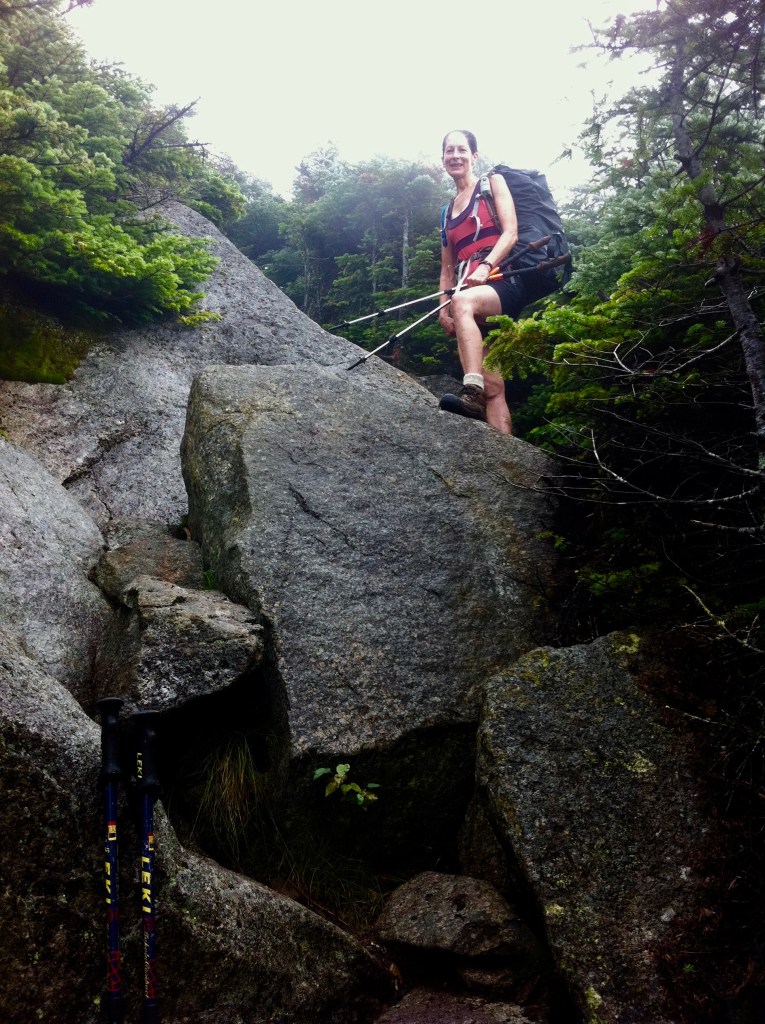
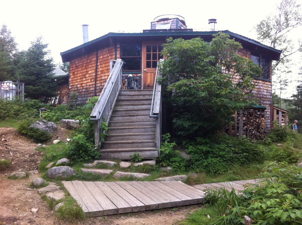
I met two women thru hikers that evening at the Jeffers Brook Shelter…Mamaw B and Rainbow. In the picture above you can see my boots and gear just right of the steps and then Mamaw B and Rainbow already settled down for the night.
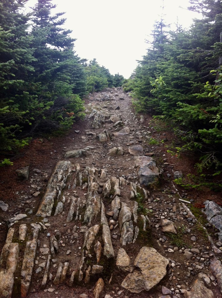
I set off early the next morning making my way to the summit of Mt Moosilauke. Descending, it had begun to rain as I approached the next campsites at the Beaver Brook Shelter. Mamaw B and Rainbow caught up at this point and we all decided to continue our trek to the Eliza Brook Shelter. Being a newbie in these mountains, I soon realized that a 16 mile day is pushing it. I arrived to the full and crowded Eliza Brook Shelter in the dark where everyone squeezed together so that I could fit in.
July 26th, 2012 … Four-Thousand Footer … Mount Moosilauke
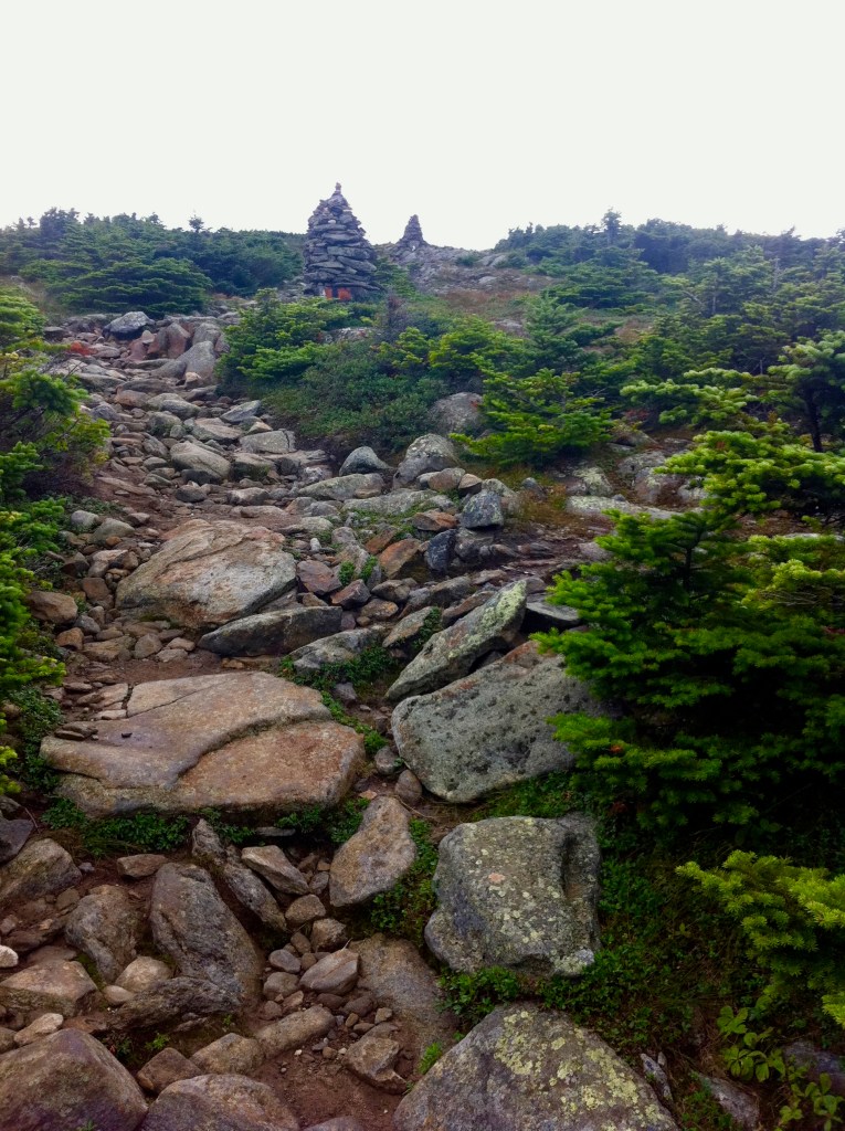

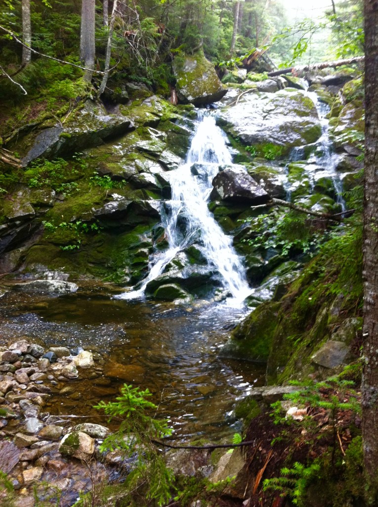
Mt Moosilauke has remained a favorite…her breathtaking views, her steady climb, her dangerous descend during the rains, hiking beside the Beaver Brook cascades…she was the first of the NH48.
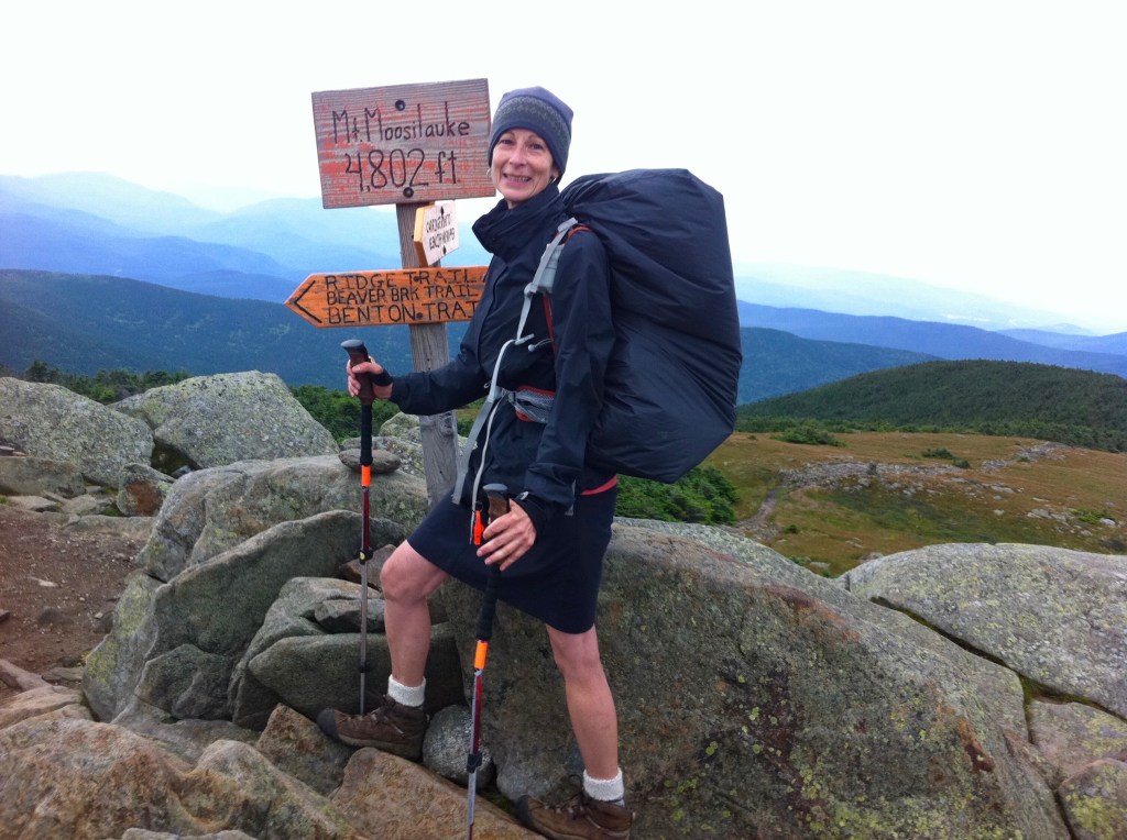
Sometimes referred to as the “Gentle Giant”, Mount Moosilauke offers panoramic views and is ranked as the 10th highest summit of the Four-Thousand Footers.
July 27th, 2012 … Four-Thousand Footers … South Kinsman & North Kinsman
7-27-12
8.8m
“Chets Place Hostel”
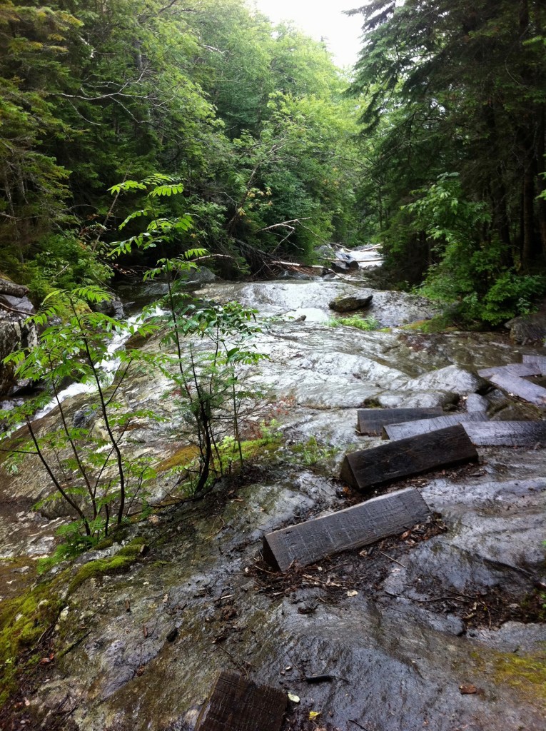
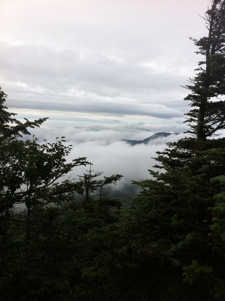
With her cascading waters all covered in moss, the Eliza Brook tumbled beside me as I made my way to the summit of the South Kinsman. Hiking through the fog and clouds, the views were minimal.
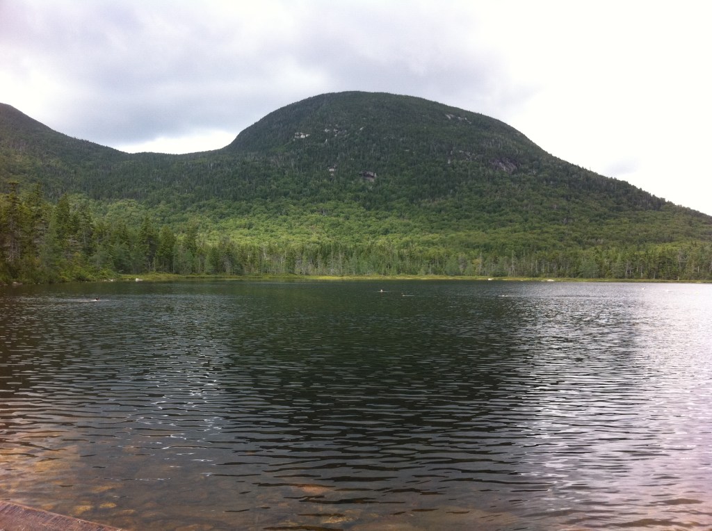
The first Appalachian Mountain Club hut that you will encounter while hiking northbound on the AT in the Whites, is the Lonesome Lake Hut. Directly behind the Hut spans the glaciated Lonesome Lake. I don’t even think I stopped to go inside this hut but passed on by the hut and the lake marching towards the Franconia Notch. Somehow I had gotten a ride into Lincoln, NH where I stayed the night at Chet’s Place Hostel, This hostel was crowded with hikers, sleeping everywhere on the floor and on bed mattresses. I had taken a shower in the outside, downstairs shower stall and later examined tomorrow’s weather report…rain, rain and more rain. I had heard and read that the Franconia Ridge was spectacular and I decided I was not going to summit those mountains in the rain. I spoke to Mamaw B and Rainbow and it was decided to take a zero day and wait out the rains. It turned out to be the right decision.
7-28-12
Zero miles
“Econo Lodge – T-Storm”
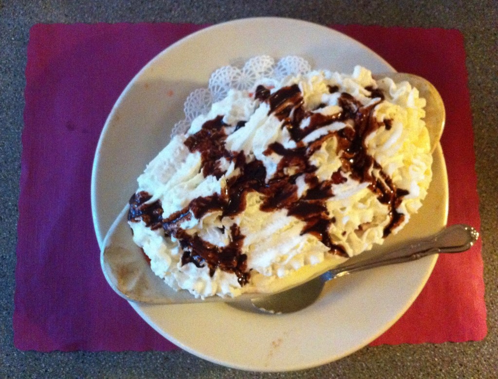
Yes, it did rain all day and yes this is the only picture taken that day…I must have been suffering from hiker hunger by the looks of the picture. We had moved ourselves to the next town over, North Woodstock, to the Econo Lodge for the night and ate at a nearby restaurant.
Sweet Dreams,
Princess Doah
