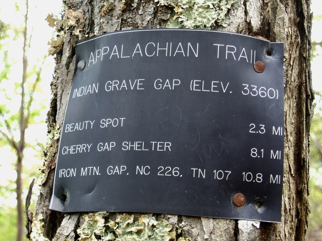
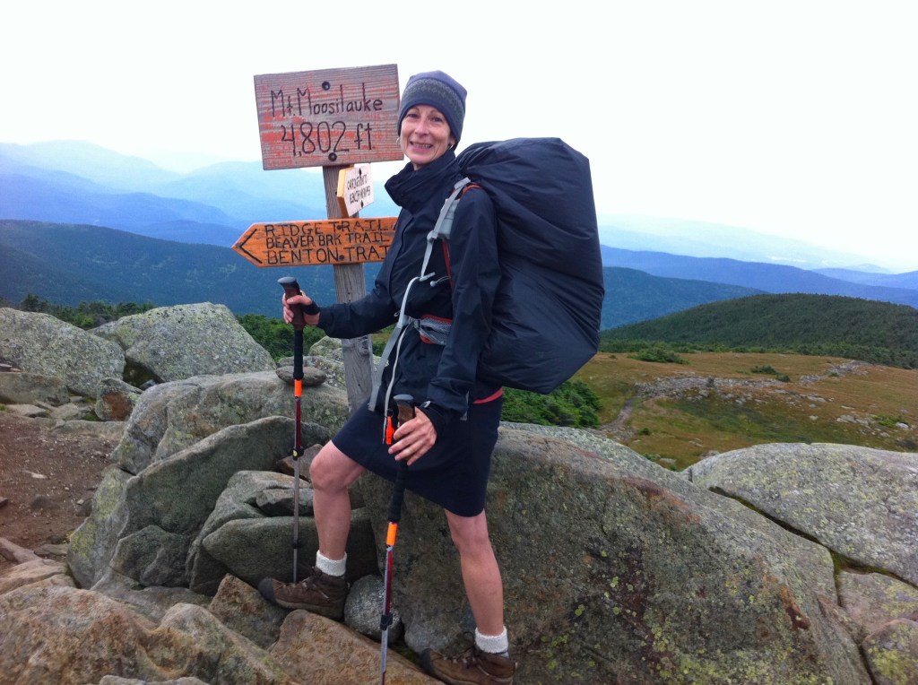
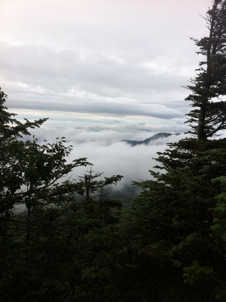
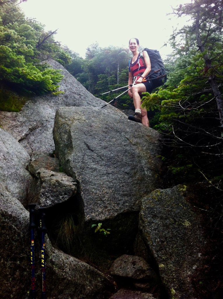
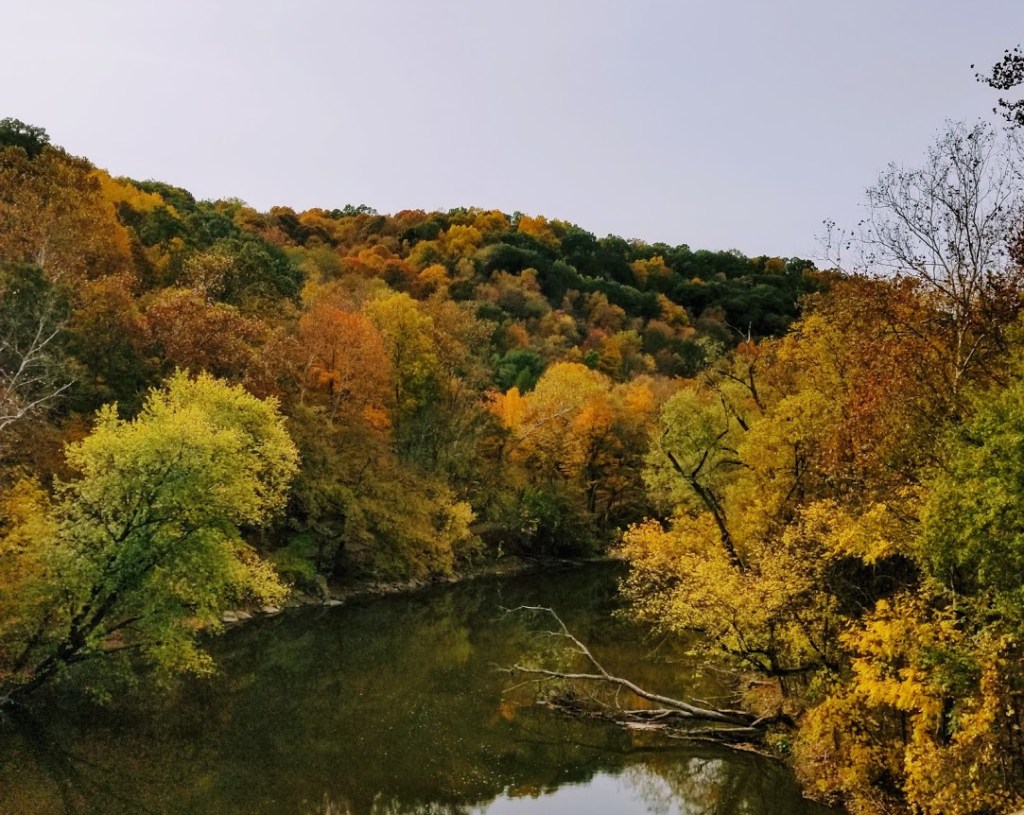
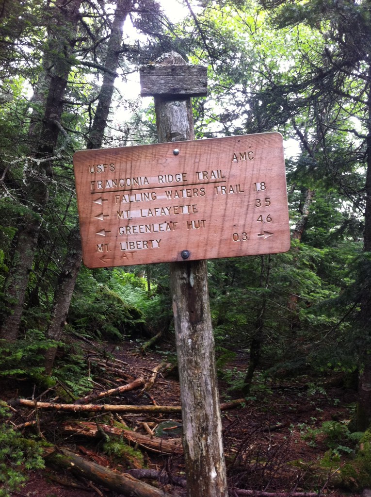
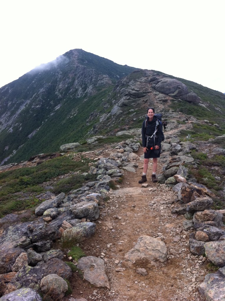
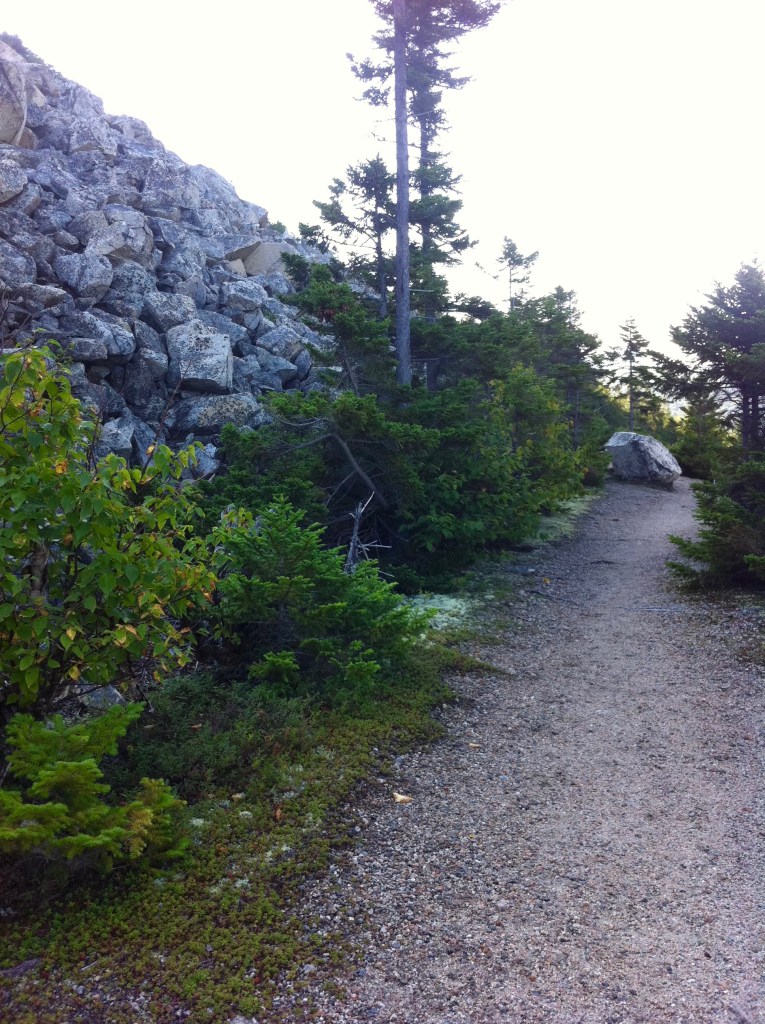
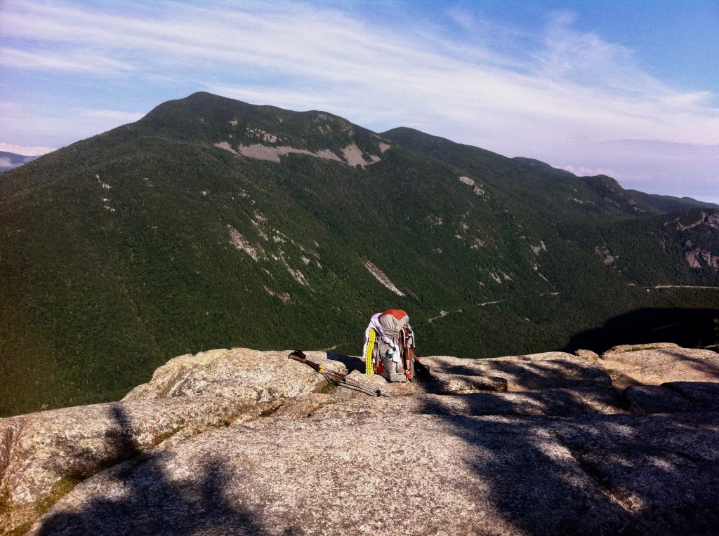
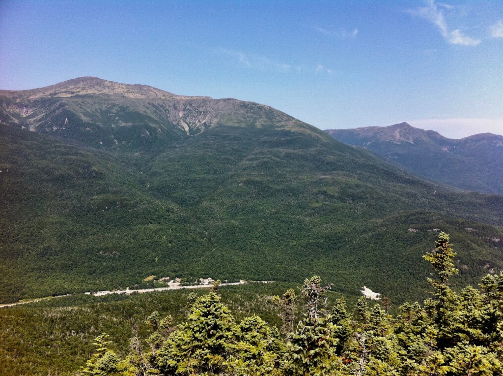
Coming down off of the Appalachian Trail the other day, I walked up to the highway and hitched a ride to the Flume Visitors Center where I needed to pick up a re-supply box that I had shipped to myself. Now with my pack fully loaded carrying several days worth of food, I find my way back to the Appalachian Trail to begin the trek up to and over the Franconia Ridge…
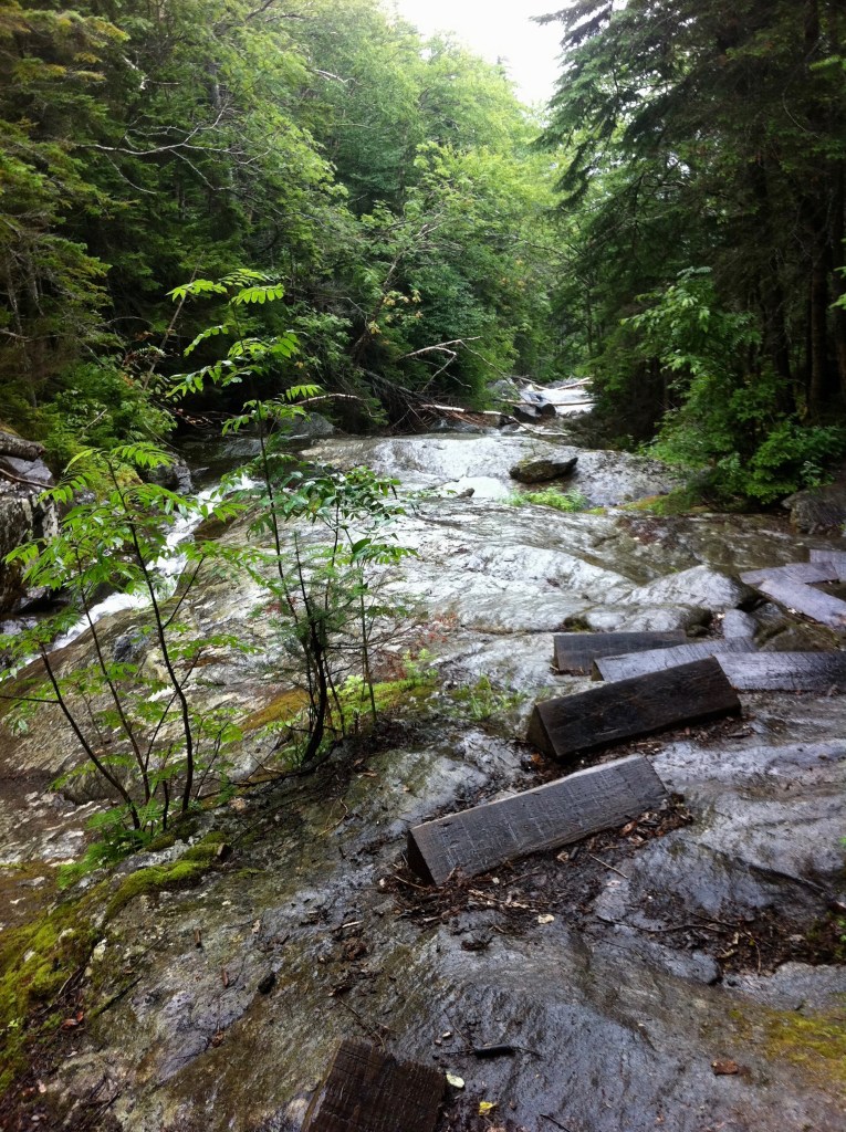
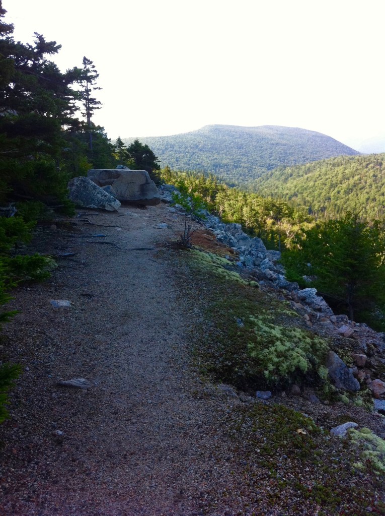
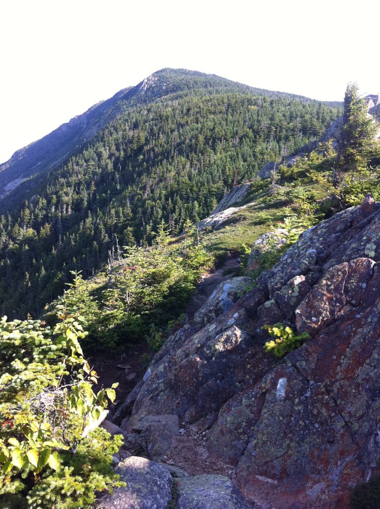
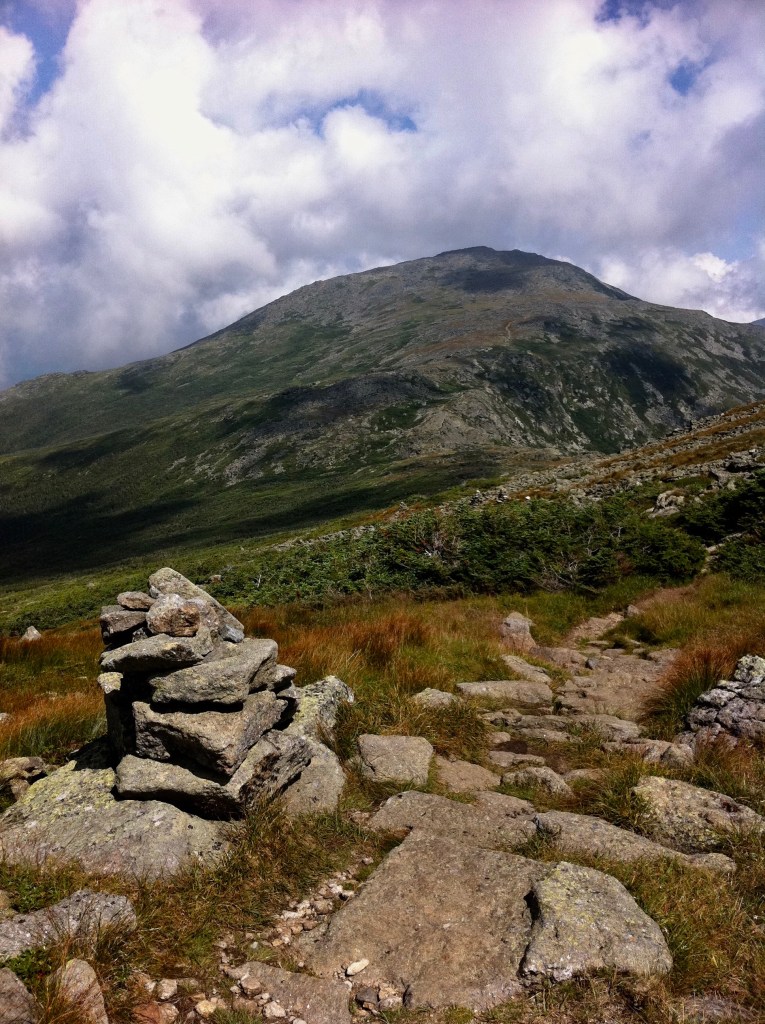
The Liberty Springs Trail is a well maintained trail that the Appalachian Trail uses to get up to the ridge. This 2.5m stretch of trail is rated as strenuous with an elevation gain of 2,700′. A rocky trail with a few stream crossings at the beginning, you gradually climb. Near the top of the ridge, the Liberty Spring Campsite/shelter is available for the overnighter. The trail becomes steeper as I make the final push for another 0.3m, finally reaching the Franconia Ridge Trail.
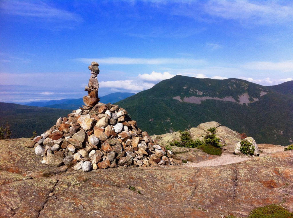
July 29th, 2012 … Four Thousand Footers … Mt Lincoln & Mt Lafayette
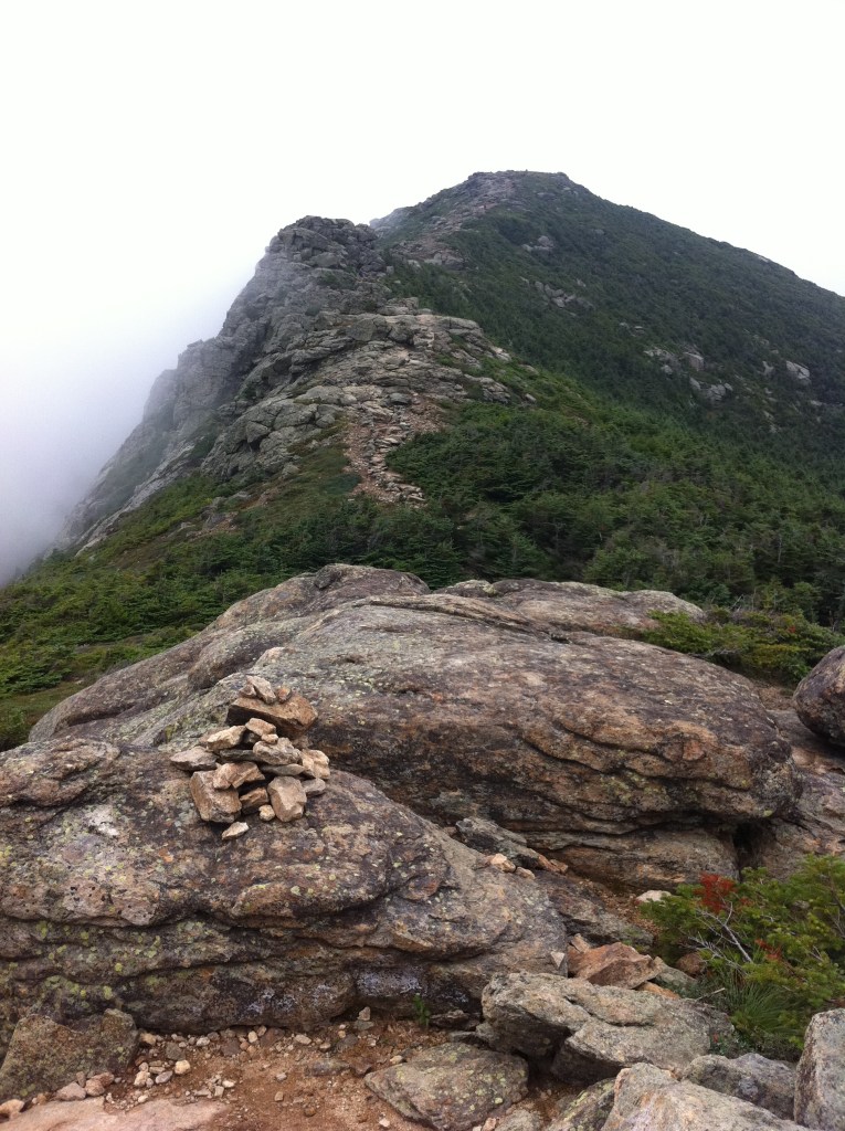
Little Haystack Mountain 4,780′ ~ ~
Mount Truman 5,000′ ~ ~
Mount Lincoln 5,089′ ~ ~ **
Mount Lafayette 5,249′ ~ ~ **
Mount Liberty 4,459′ **
Mount Flume 4,328′ **
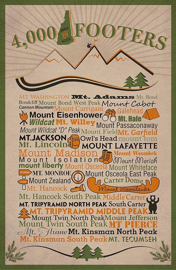
~ ~ Summits on the Appalachian Trail
** Summits that qualify as a New Hampshire Four-Thousand Footer
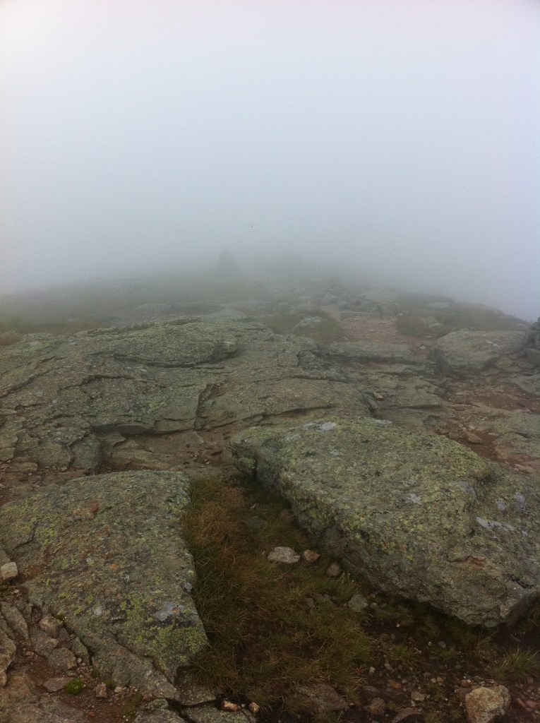
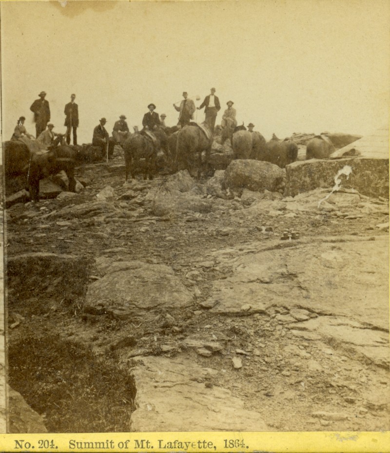
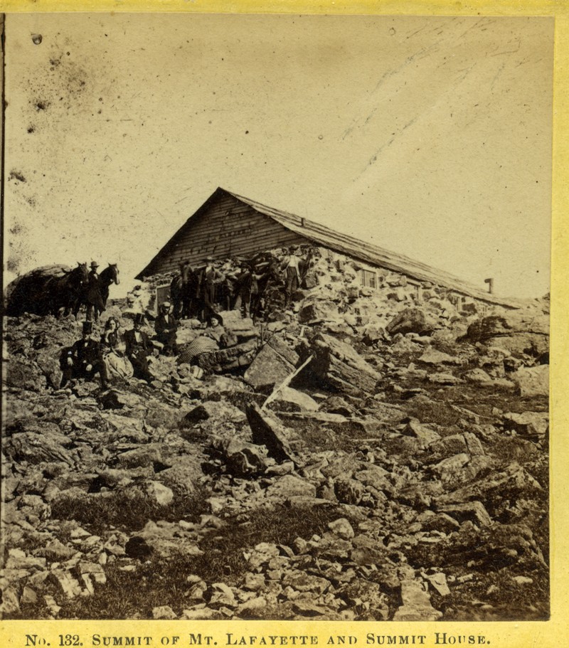
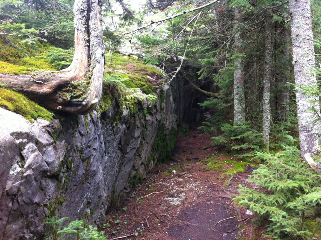
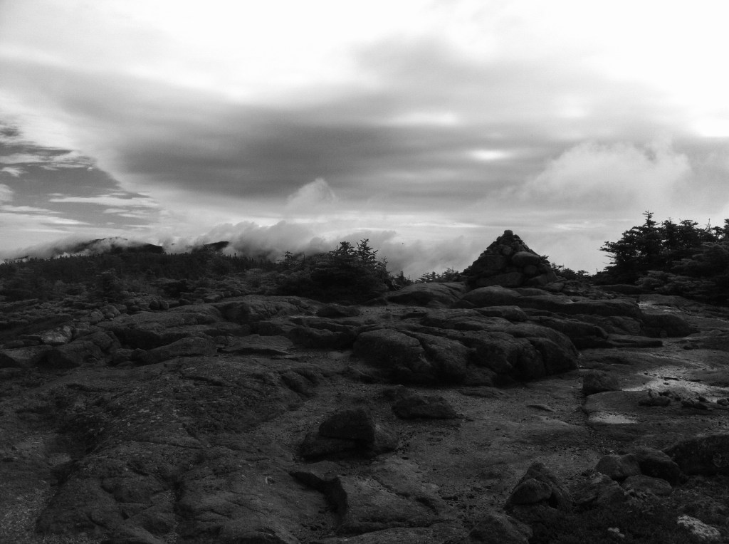
Known as The Summit House on Mt Lafayette which was built around 1860, it served as a shelter for the horses that had traveled from the Hotels below. Little has been documented about this structure and only a fragment of its stone foundation can be seen to this day. This stone wall is often used by hikers to shield themselves from the weather and winds on top of this mountain. I have climbed this mountain on three different occasions, once sitting below this stone wall to escape the winds as I sat to eat my lunch.
7-29-12
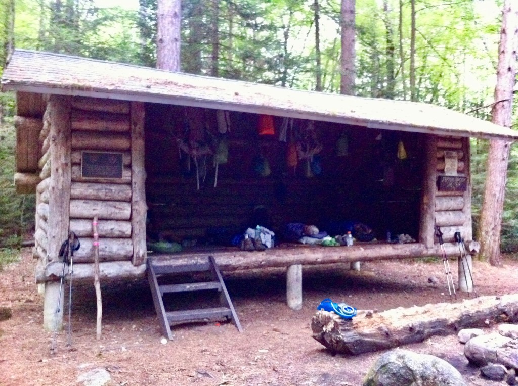
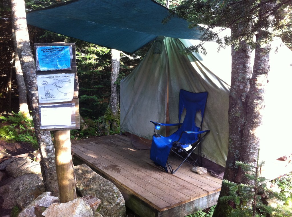
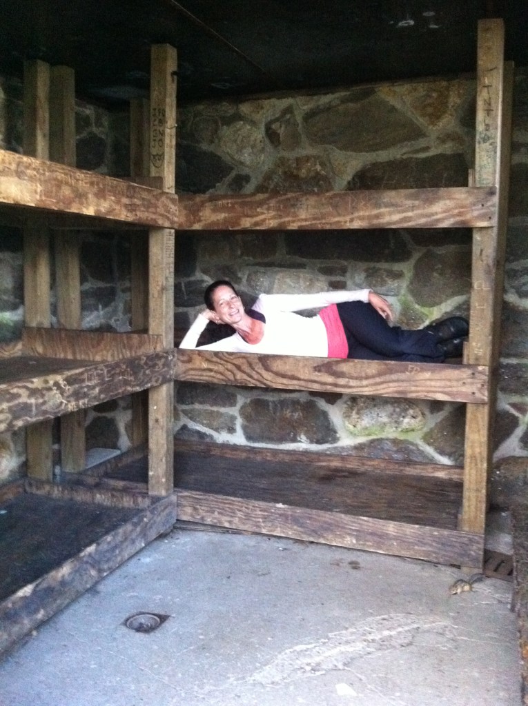
“Slept in Garfield Ridge Shelter ~ Did work for stay ~ Sifted poop”
Yes…you read that journal entry correctly. The Appalachian Mountain Club (AMC), maintains the numerous shelters/campsites and huts within the Whites and if you stay at any of them there is a fee involved to be paid. However, one can do what is called “A work for stay”…you work so that you can stay for free. The fee at the shelters that year was $8.00pp. I, being the one who likes to try new and different things, placed my backpack in the shelter to claim my spot, found the caretaker and asked if I could do “A work for stay”. “Why sure”, he said as he handed me a pair of leather gloves and a shovel! Taking me down to the local lovely privy, I was instructed on how to shovel and sift out any trash from the decomposing human waste. Shovel, sift and dump, shovel, sift and dump…into another pile. Now don’t freak out and say “yuck”. The decomposing of waste goes through several steps in order to get it to this point where it looks just like dark brown dirt.
July 30th, 2012 … Four Thousand Footer … Mt Garfield
7-30-12
9.7m
“Tough climb down Garfield Mt ~ Zeacliff Hut work for stay ~ Knees hurt BAD”
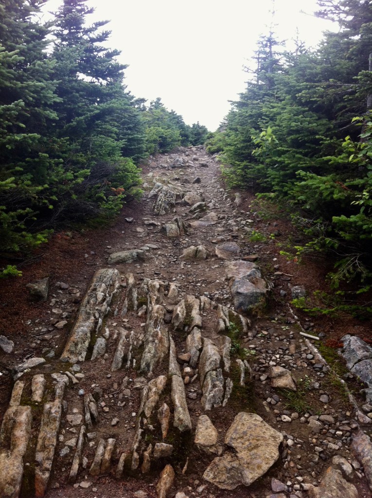
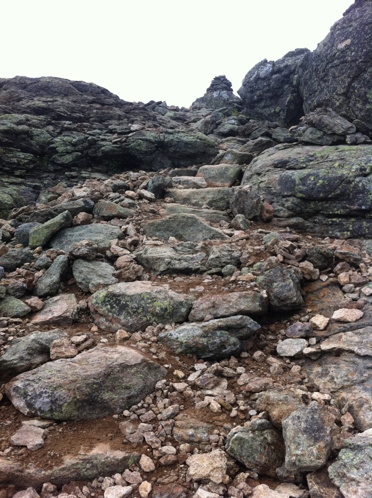
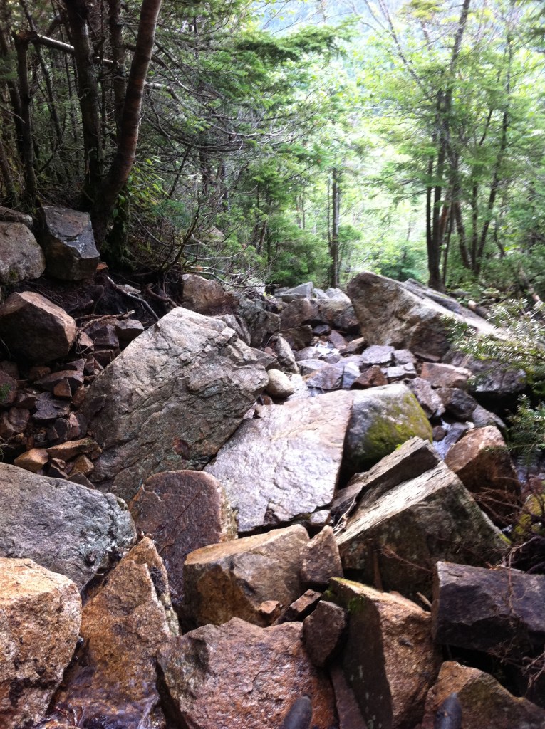
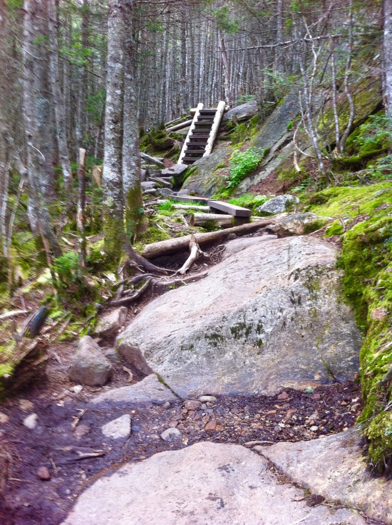
Mt Garfield is the fourteenth highest among the four-thousand footers at 4,501′. From Mt Lafayette via the Garfield Ridge/Appalachian Trail it is a mere 3.5m to Mt Garfield where it is a very steep and rocky climb to its summit.
The last photo above was taken while descending…I remember a male thru hiker coming up fast behind me, cussing and mad at those who would dare build a trail so “Treacherous and dangerous” and that “This is Not hiking”! Yes, you do need to take your time.
July 30th, 2012 … Four Thousand Footer … South Twin Mountain
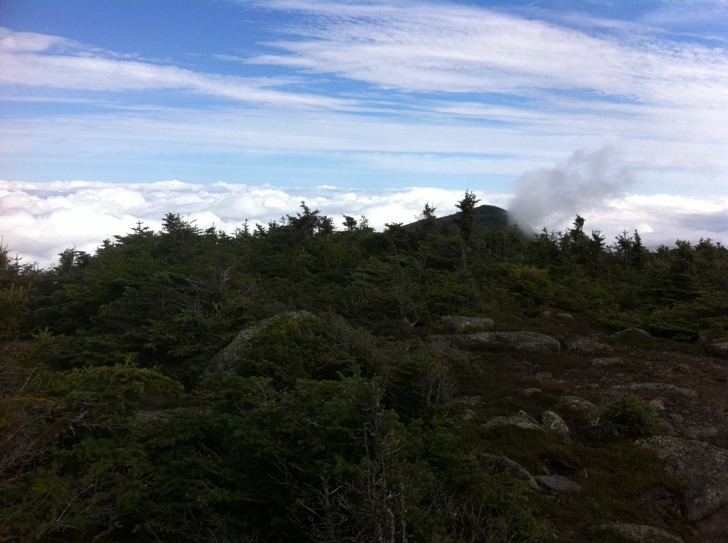
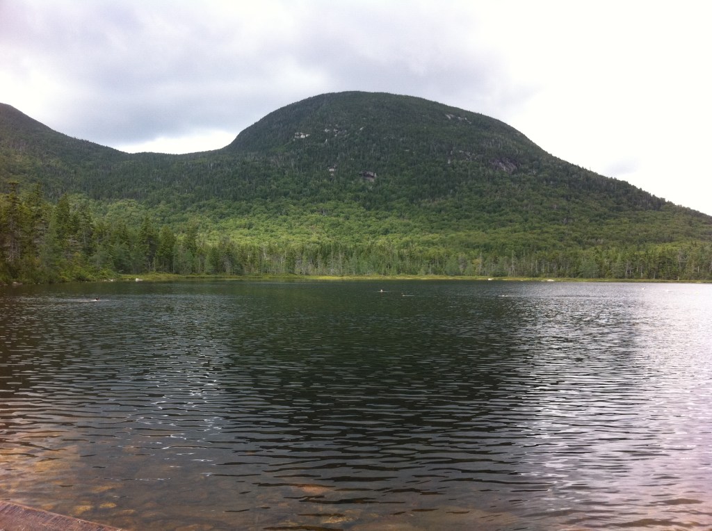
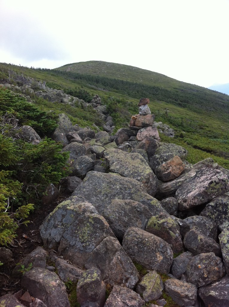
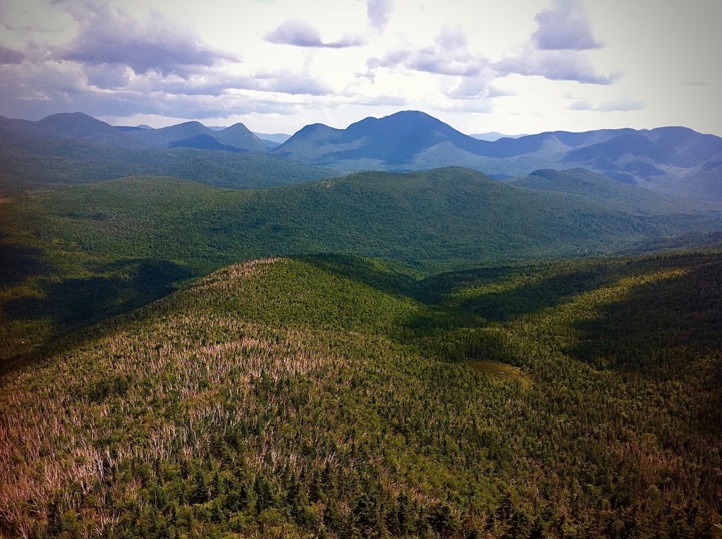
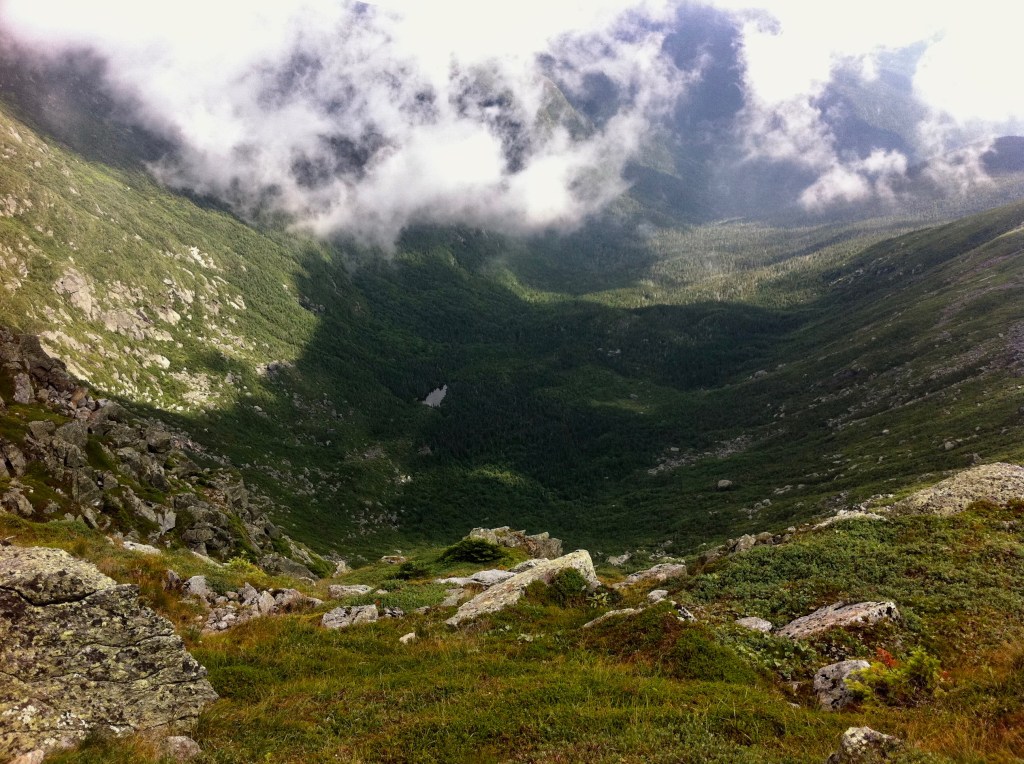
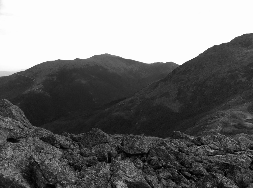
Who can forget the climb up the South Twin Mountain? Of course I don’t have any photos at this summit! I did however take the photo below of the Twinway/Appalachian Trail just beyond South Twin looking over toward Mt Guyot. At 4,580′ the top of Mt Guyot consists of two broad domes about a tenth of a mile apart. Mt Guyot is part of the Twin Range and is not considered as one of the AMC Four-Thousand Footers. With panoramic views of unspoiled mountains it is one of the more remote peaks within the White Mountains.
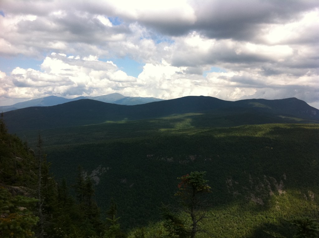
To the east, you have views of the Whitewall Mountain
Behind Whitewall (L to R) Mt Tom, Mt Field & Mt Willey
In the far back (L to R) Mt Eisenhower, Mt Clay & Mt Washington
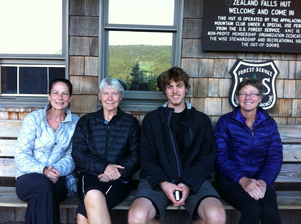
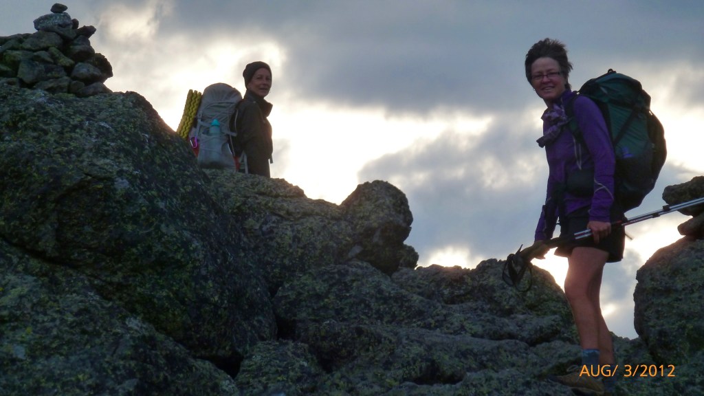
Princess Doah
Mamaw B
Wally
Rainbow
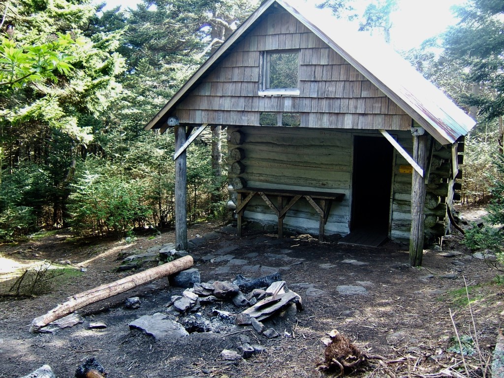
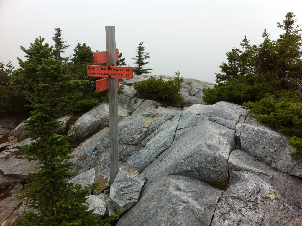
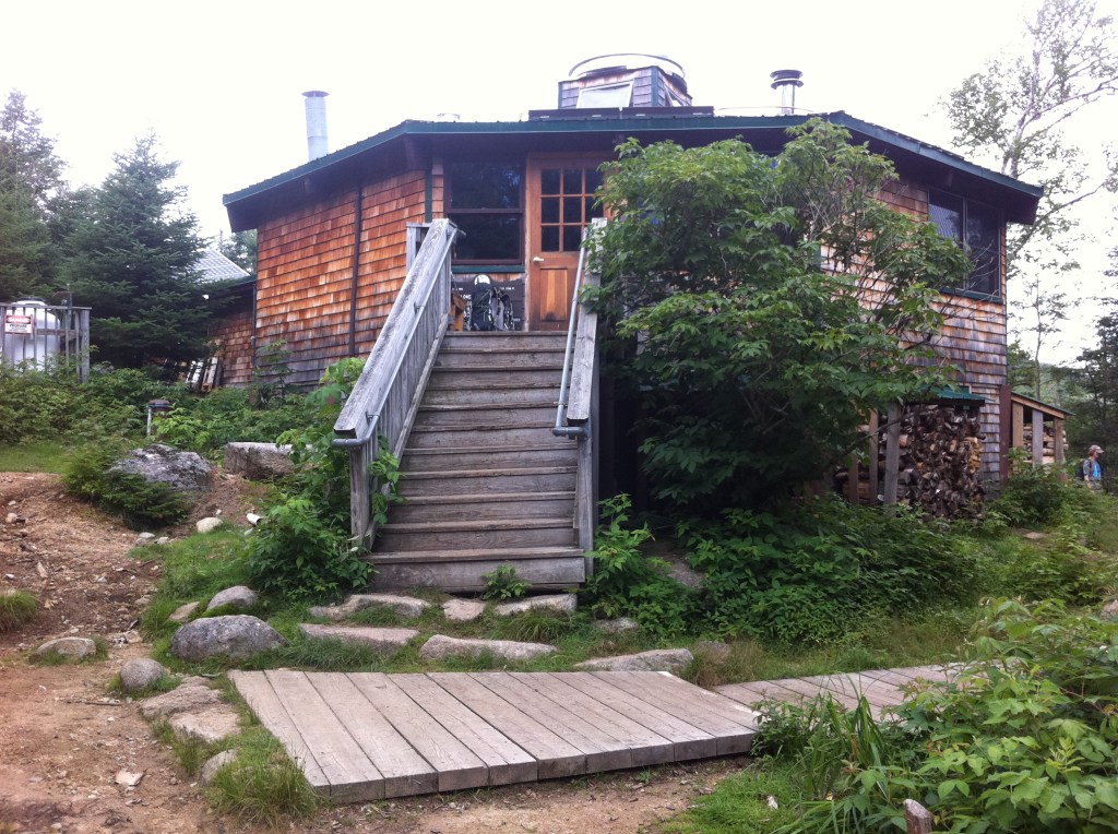
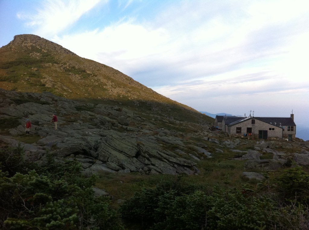
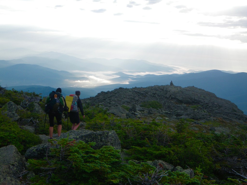
Accessible only by foot and connected by the Appalachian Trail, the eight huts within the White Mountains offers the weary long distance hiker an opportunity to do a work for stay in exchange for food and shelter for the night. The hiker must time it properly as one will not be permitted to work for stay if you arrive too early in the day. If there is daylight and the weather is good…then you will be asked to continue down the trail. The Zealand Hut is my first hut work for stay. My duties were to give a hiking presentation to all of the paying guests…I showed them my gear and talked about my hike…easy peasy.
July 31st, 2012
The U-shaped valley, known as the Zealand Notch, lies between the Whitewall Mountain to the east, and Zeacliff, an eastern arm of Zealand Mountain, to the west. The photo below shows a distinct horizontal line across the lower cliffs of the Whitewall Mountain…an old railroad grade through the notch that is now the Ethan Pond/Appalachian Trail.
These railroad lines built by the logging companies that stripped much of the 800,000 acre White Mountain region of timber in the late 1800’s and early 1900’s, were eventually dismantled. James E. Henry was one such developer that was known as the “Wood Butcher”, because his logging crews used a method called clear- cutting. The waste wood from the clear-cutting operations caused massive forest fires that burned for years. Henry owned 10,000 acres in the heart of the White Mountains with an 11 mile railroad to move the logs from forest to sawmill. Once the fires destroyed villages and valleys…many of these abandoned railways became our current trails.
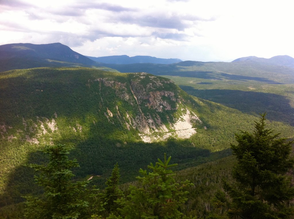
Willey Range
Whitewall Mountain ~ 3,405′
Directly behind on the Left ~ Mt Willey ~ 4,285′
Journal Entry
7-31-12
7.7m
“Re-supply at the AMC (Appalachian Mountain Club) Highland Center Lodge ~ Got a room in the bunk room ~ Only one in the room ~ Very easy & flat hike today to the road, US 302, Crawford Notch”
August 1st, 2012 … Four-Thousand Footer … Mount Jackson & Mount Pierce
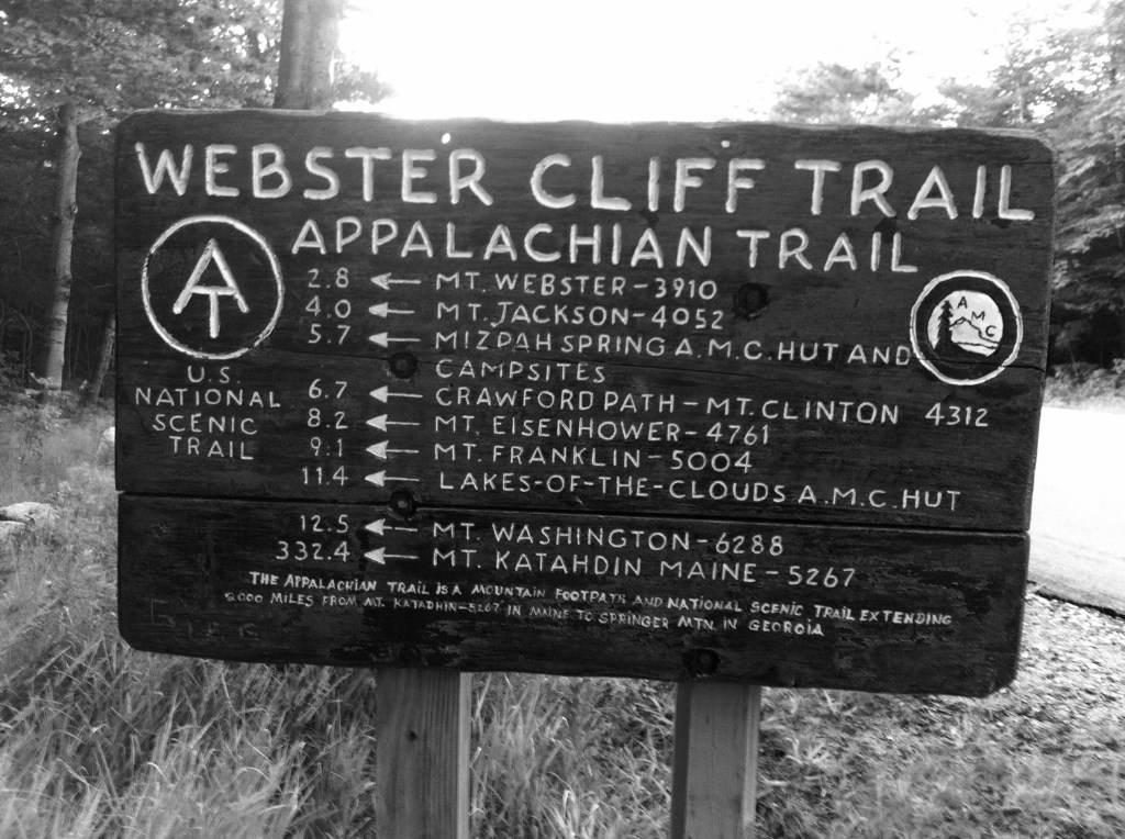
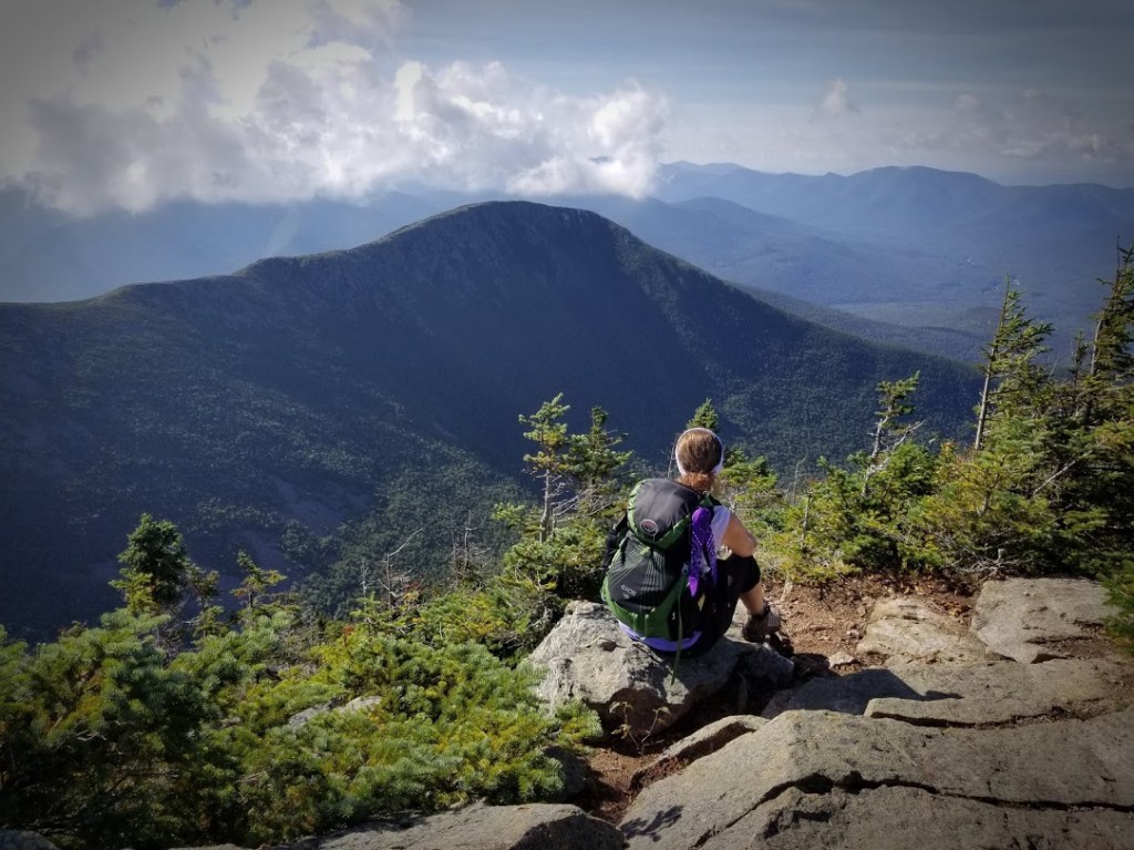
This mornings hike began on the Webster Cliff/Appalachian Trail…soon crossing the Saco River, the trail begins its upward climb toward the rocky ledges of the Webster Cliffs. When I reached the ledges, I remember just standing in awe as I looked westward, back down through the Notch, over to Mt Willey and beyond. It was amazing and probably one of my favorite moments on the entire Appalachian Trail.
(L to R) Mt Willey 4,285 **
Mt Field 4,340′ **
Mt Avalon 3,442′
Mt Tom 4,051′ **
~~ Summits on the Appalachian Trail
** Summits that qualify as a New Hampshire Four-Thousand Footer
Formerly called Notch Mountain, is named after Daniel Webster
8-1-12
11.1m
“Lakes of the Cloud Hut ~ Did a work for stay”
Even though I hiked up and over two more of the four-thousand footers today, I was totally unaware of the fact that there was even a peak bagging list and that these summits were a part of it. Of course no pictures…The day began as warm and sunny and by mid day the clouds had begun to roll in. Passing Mt Eisenhower on my left, those clouds opened up and a downpour had begun causing the trail to become a gushing stream. By the time I rushed myself to the Lakes of the Clouds Hut, I was drenched, my boots and feet are soaked and I was chilled. Time to strip down and get some warm clothes on, I inquired about a “Work for stay”. and I also asked if I could place my soaked boots under the stove in the kitchen so they could possibly dry out a little…The Croo was very accommodating to all of the long distance hikers that day and allowed all of us to stay the night. When you do a work for stay, you help out cleaning dinner pots and pans, sweep the floors, tidy up the kitchen and do whatever is asked of you. Once all of the payed hut customers have retired for the night into their separate bunk rooms, we hikers are then allowed to bed for the night. I pushed together two of the long dinner table benches to create a bed for myself before laying my sleeping bag on top of them. The dinning hall becomes our living space for the night…
Dungeon”, for a mere $10.00 fee. Notice the little critter on the floor next to me!
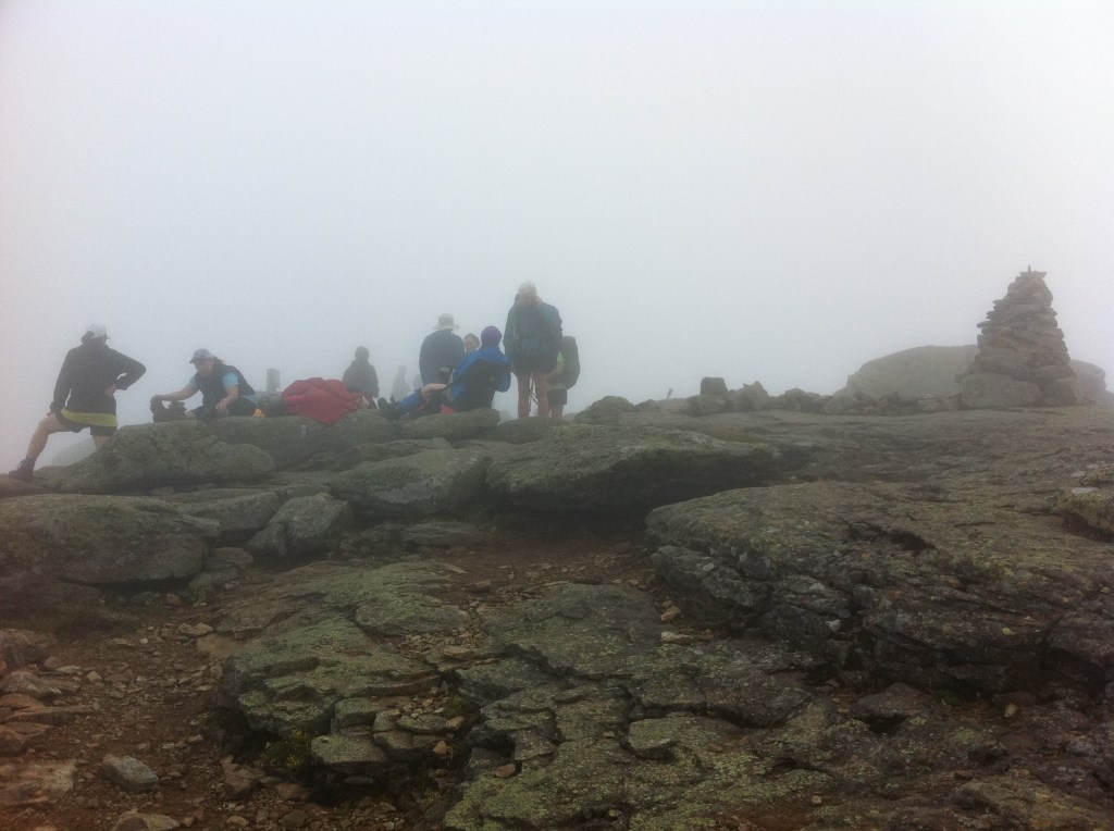
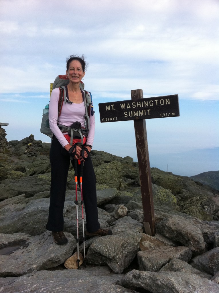
August 2nd, 2012 … Four-Thousand Footer … Mount Washington
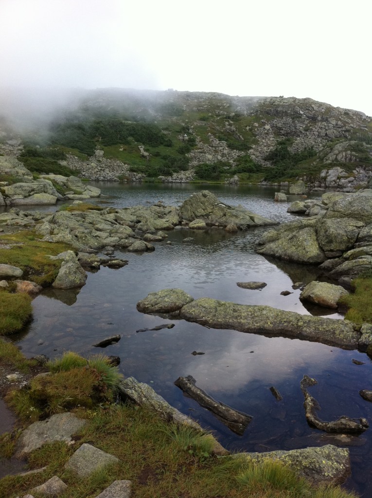
A set of tarns (a mountain pool that forms in a hollow scooped out by a glacier), located at the 5,032′ col between Mount Monroe and Mount Washington
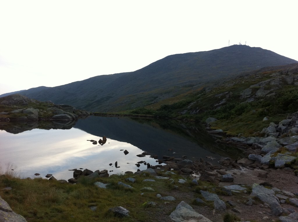
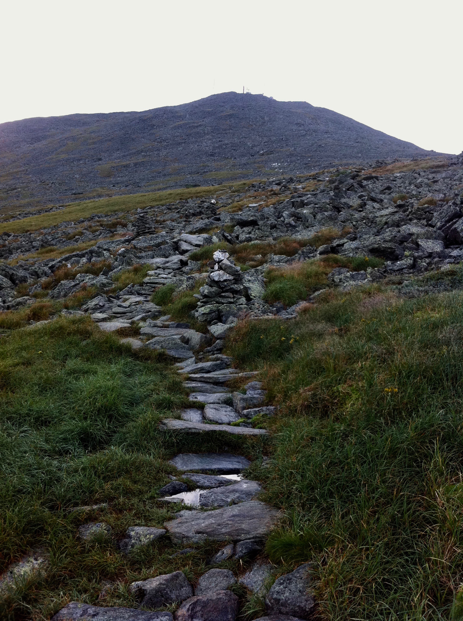
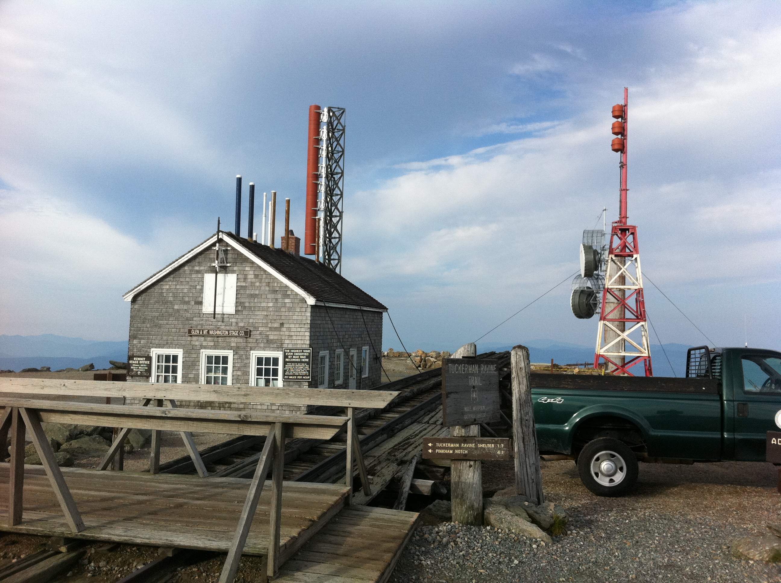
I arrived at the summit of Mt Washington so early that the main building wasn’t even open yet. I did however wait around until all the buildings had opened so that I could go in and look around…kinda like being a tourist! The small wooden hut on top, which houses a gift shop, is chained down because this grand mountain is notorious for its erratic weather. At 6,288′, Mount Washington, called Agiocochook by some Native American tribes, is the highest peak in the Northeastern United States.
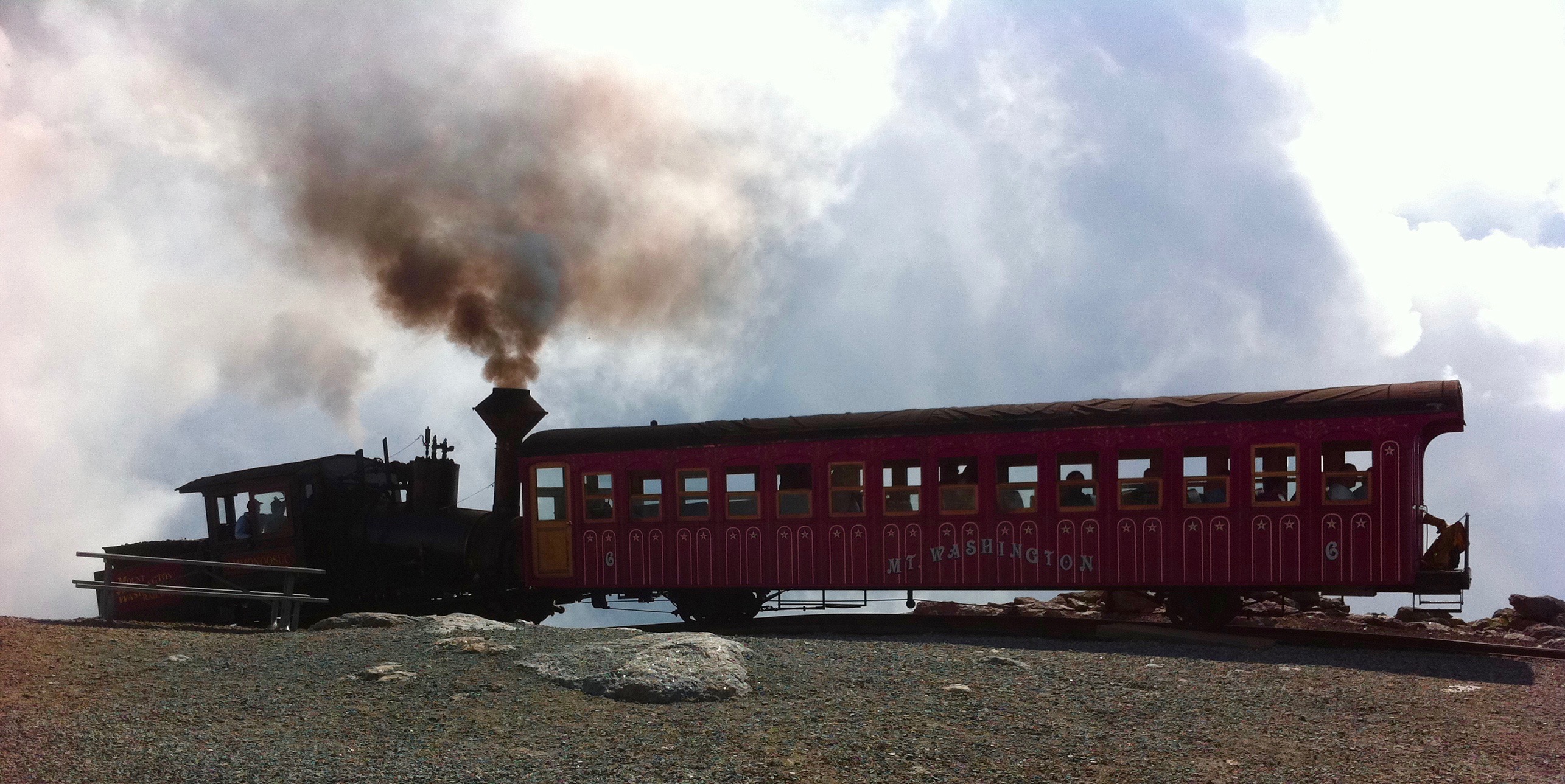
Pictured above is the 3 mile Mount Washington Cog Railway. The world’s first mountain-climbing cog railway (rack and pinion railway) is still in operation.
8-2-12
“Madison Hut”
From the Lakes of the Clouds Hut to the Madison Spring Hut, you are above tree line for the duration of the day. With blue skies and amazing weather, I trekked across the rocky trail where I could look deep into the Great Gulf Wilderness always to my right. I was so taken by such grander, calmness and ease. Once I reached the Madison Spring Hut, my destination of the day, I did my final “work for stay” at the huts. The Croo was a bit more strict here at this hut, having to wait outside all day and into the evening before I was given permission to stay. Once the hikers could come indoors, we had our usual cleaning of the dining room and kitchen before we ourselves could retire for the day.

Mt Eisenhower 4,760′ **
Mt Adams 5,799 **
Mt Madison 5,366′ ~~ **
~~ Summits on the Appalachian Trail
** Summits that qualify as a New Hampshire Four-Thousand Footer
August 3rd, 2012 … Four-Thousand Footer … Mount Madison
Far edge on the right is Star Lake
Mt Adams is towering over Star Lake
Mt Washington in the background with views of the Auto Road on its left flank
8-3-12
“Climbed Mt Madison … loved it ~ White Mt Hostel in Gotham ~ Got a shuttle from Pinkham to Gorham, NH”
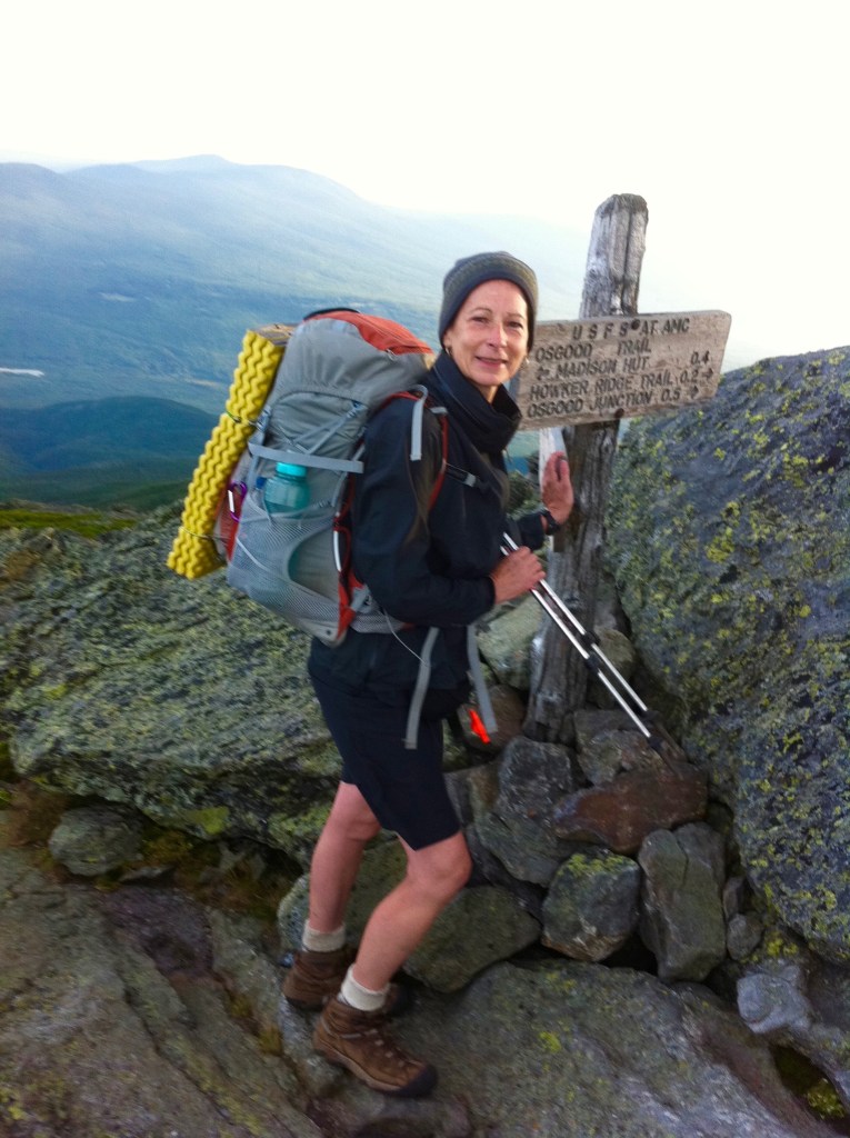
Princess Doah
Mount Madison
Due to high winds and low temperature, hypothermia is a danger even in the summer. With wind gusts that would knock me over a few times, the early morning sunrise as we trekked across her summit was stunning!
5,367′
Leaning into the signage so that the winds would not knock me over, the only way I could describe this day and this summit…exhilarating!
August 4th, 2012 … Four-Thousand Footer … Wildcat Mountain Peak D, Wildcat Mountain Peak A, Carter Dome
The photo below is looking back towards Mount Washington and down into Pinkam Notch. Only picture taken for the day!
8-4-12
“Shuttled back to Pinkham Notch Visitor Center ~ Hiked over the Wildcats & Carter Dome ~ Tough hike! ~ Tented at Zeta Pass”
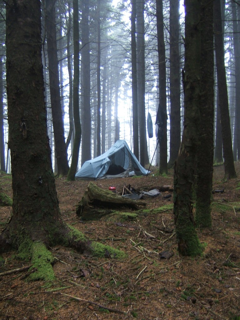
Oh Boy do I remember climbing Carter Dome. Out in the distance I could hear the rumble of thunder as I trudged upward towards this summit. Your heart begins to beat a little faster as the sounds of the clashing thunder grows closer all while you pick up your pace so to get up and over this mountain! I was in a running pace and as I reached this bare dome I naturally crossed over to the other side only to not see any of the white blazes which mark the trail. For a brief moment I circled around back and forth viewing my options for what may look like a trail only to hurriedly find the trail making a sharp left. Gone I was, done the trail to what is known as Zeta Pass. When I arrived, there were a few other hikers who had pitched their tents quickly so to get out of the pouring rains. I luckily found a little flat spot, pitched my tent and flew inside!
August 5th, 2012 … Four-Thousand Footer … South Carter Mountain, Middle Carter Mountain, Mount Moriah
Over the years I have gotten better at taking more pictures! Maybe not so much as writing more in my daily journals…but here you have it! The first 17 summits of the New Hampshire Four-Thousand Footers.
8-5-12
“Made it into Gotham ~ Stayed at the White Mountain Hostel again”
Stay tuned…I have 31 more summits to write about and post!
Gods creation is amazing,
Princess Doah